
Horry County Know Your Zone is a public education campaign to inform the citizens and visitors of Horry County of the new hurricane evacuation zones and their vulnerability to storm surge.
For individual zone maps, click on the corresponding zone letter.
Zone A
All areas east of U.S. 17 Business (Kings Highway), up to intersection with U.S. 17 (Kings Highway) and then all areas east of U.S. 17 (Kings Highway) to the northern county line.
Also includes all flood prone areas along the Waccamaw River and the Great and Little Pee Dee Rivers, as well as all mobile home residents within Horry County.
Zone B
All areas south of S.C. 707 and Longwood Drive, including all areas in Longwood Plantation (Blackmoor) to the Waccamaw River and all areas east of U.S. 17 Bypass (Mark Garner Highway) to U.S. 17 (North Kings Highway) and all areas east of U.S. 17 (North Kings Highway) to the northern county line.
Also includes all flood prone areas along the Waccamaw River and the Great and Little Pee Dee Rivers, as well as all mobile home residents within Horry County.
Zone C
All areas between U.S. 701 and S.C. 544, south of Brown's Chapel Avenue and Hwy. 814, plus all areas east of S.C. 31 (Carolina Bays Parkway) to S.C. 90 and all areas east of S.C. 90 to U.S. 17 to the northern county line.
Also includes all flood prone areas along the Waccamaw River and the Great and Little Pee Dee Rivers, as well as all mobile home residents within Horry County.


Sponsorship provides our investors the opportunity for recognition and publicity. For some events, sponsorship will also include tickets to the event, the opportunity to speak to attendees or to distribute promotional items. Check out the Investment and Sponsorship Program and stretch your marketing budget.


Leadership Grand Strand (LGS), a program of the Myrtle Beach Area Chamber of Commerce, will hold a graduation ceremony on Friday, May 3, 2024, for its 44th program class.
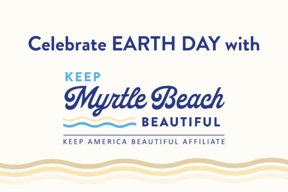
Keep Myrtle Beach Beautiful (KMMB) is calling on volunteers to help clean up and beautify Myrtle Beach’s Withers Swash Park on Earth Day, Monday, April 22, 2024, from 9 to 11 a.m.
 Events Calendar
 Business Directory